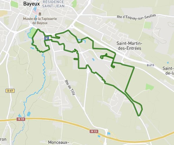
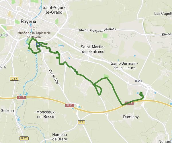
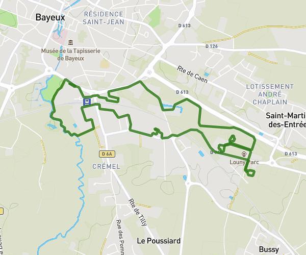
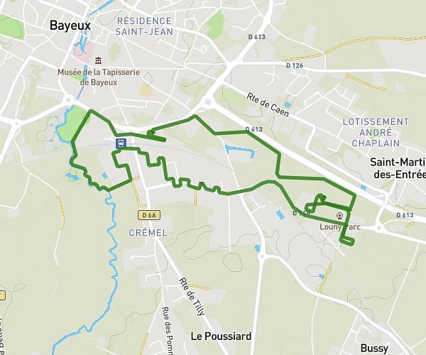
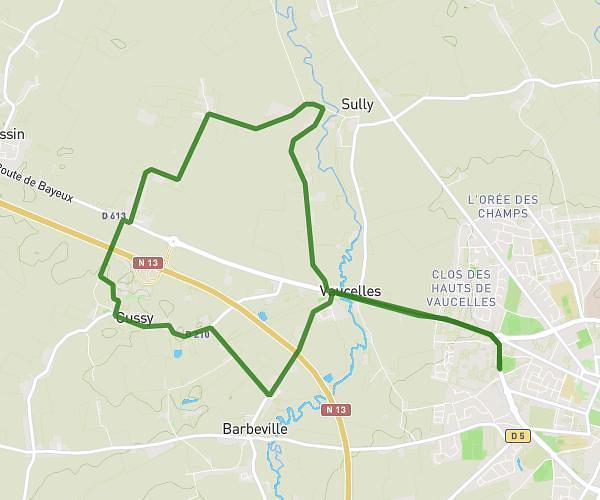
This running route covers 8.467mi starting from Cambes-en-Plaine, Calvados. The run is a loop trail and returns to the trailhead. This run is rated as hard, expect about 1h22m to complete it. The route has an elevation gain of 230ft and an elevation loss of 226ft.
Cambes-en-Plaine
Route details
6.2mph
Speed
938 kcal
Calories burned
Loop trail
Route type
112ft
Min altitude
190ft
Max altitude
Route profile
230ft
Elevation gain
226ft
Elevation loss
112ft
Min altitude
190ft
Max altitude
How to get there
Trailhead: 25 Rue Des Viducasses, 14610 Cambes-en-Plaine, France
GPS coordinates of the trailhead: 49.22952, -0.37828 / 49°13'46'' N, 0°22'41'' W