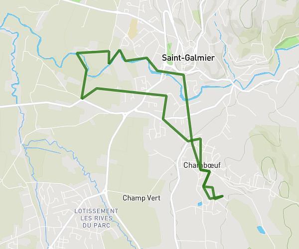
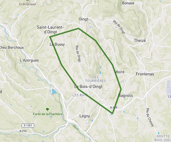
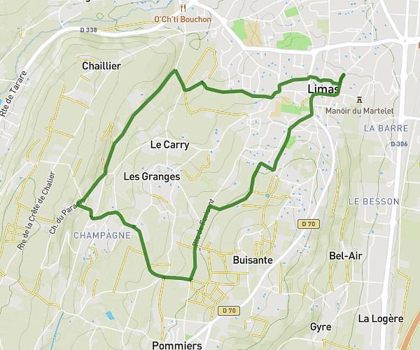
This running route covers 12.034mi starting from Villechenève, Rhône. The run is a loop trail and returns to the trailhead. This run is rated as strenuous, expect about 2h9m to complete it. The route has an elevation gain of 564ft and an elevation loss of 807ft.
jim 20 KMS
Route details
5.6mph
Speed
1475 kcal
Calories burned
Loop trail
Route type
2070ft
Min altitude
2631ft
Max altitude
Route profile
564ft
Elevation gain
807ft
Elevation loss
2070ft
Min altitude
2631ft
Max altitude
How to get there
Trailhead: 31 Impasse Colas, 69770 Villechenève, France
GPS coordinates of the trailhead: 45.81331, 4.40613 / 45°48'47'' N, 4°24'22'' E