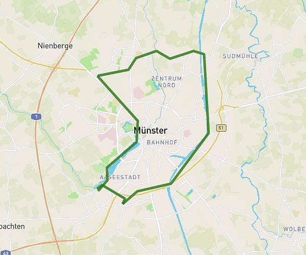
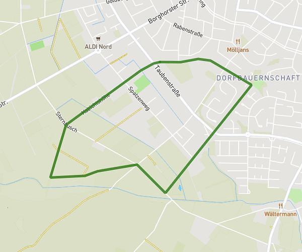
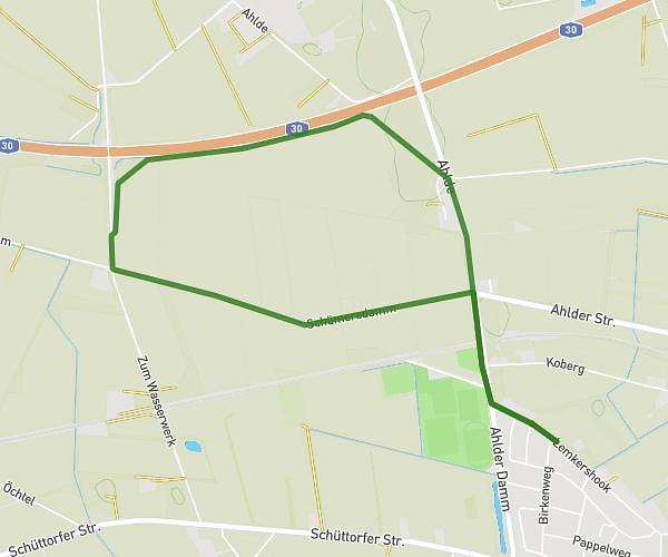
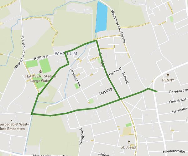
This running route covers 1.87mi starting from Emsdetten, North Rhine-Westphalia. The run is a loop trail and returns to the trailhead. This run is rated as easy, expect about 22m34s to complete it. The route has an elevation gain of 39ft and an elevation loss of 39ft.
3Km
Route details
4.97mph
Speed
258 kcal
Calories burned
Loop trail
Route type
141ft
Min altitude
161ft
Max altitude
Route profile
39ft
Elevation gain
39ft
Elevation loss
141ft
Min altitude
161ft
Max altitude
How to get there
Trailhead: Habichtshöhe 56, 48282 Emsdetten, Germany
GPS coordinates of the trailhead: 52.166406, 7.508136 / 52°9'59'' N, 7°30'29'' E