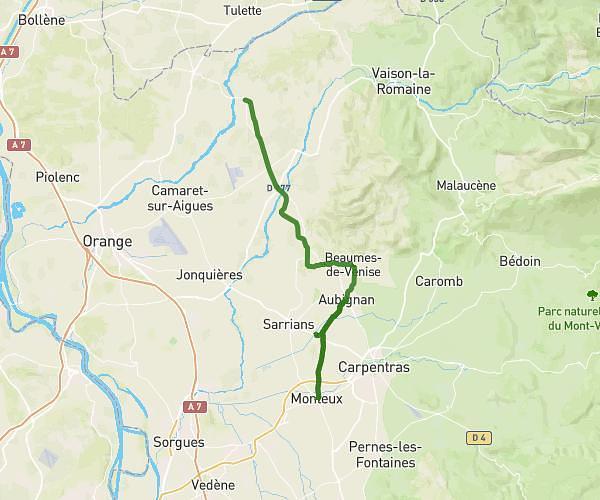
This cycling route covers 22.548mi starting from Vaison-la-Romaine, Vaucluse. The ride does not return to the trailhead and ends near 7 Chemin Des Ramieres, 84110 Crestet, France. This route is rated as strenuous, plan for about 3h17m to complete it. The route has an elevation gain of 2323ft and an elevation loss of 2323ft.
Vaison Crestet Dentelles Suzette Lafare Barroux Malaucène
Route details
1777 kcal
Calories burned
3.9%
Avg grade
Point to point
Route type
587ft
Min altitude
1903ft
Max altitude
Route profile
2323ft
Elevation gain
2323ft
Elevation loss
587ft
Min altitude
1903ft
Max altitude
How to get there
Trailhead: 615 Chemin Canten, 84110 Vaison-la-Romaine, France
GPS coordinates of the trailhead: 44.24737, 5.05763 / 44°14'50'' N, 5°3'27'' E