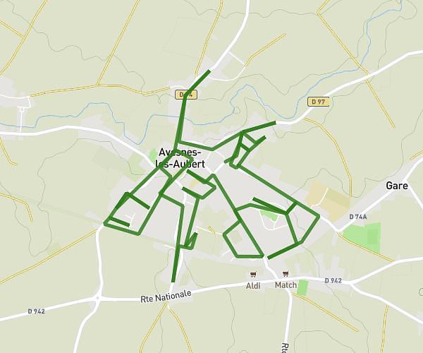
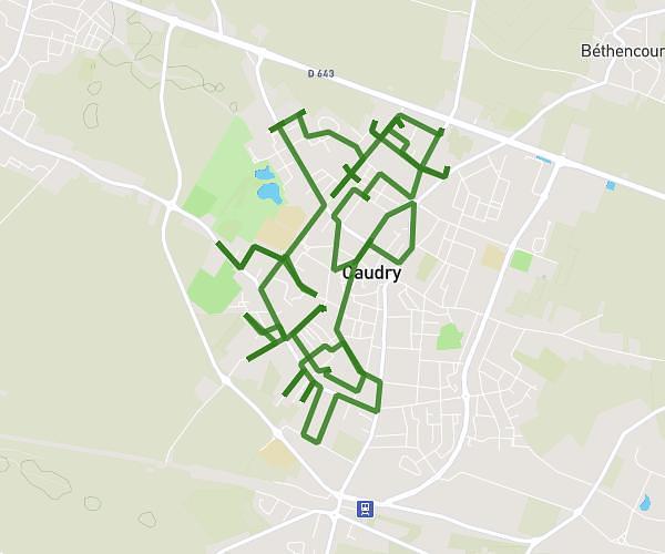
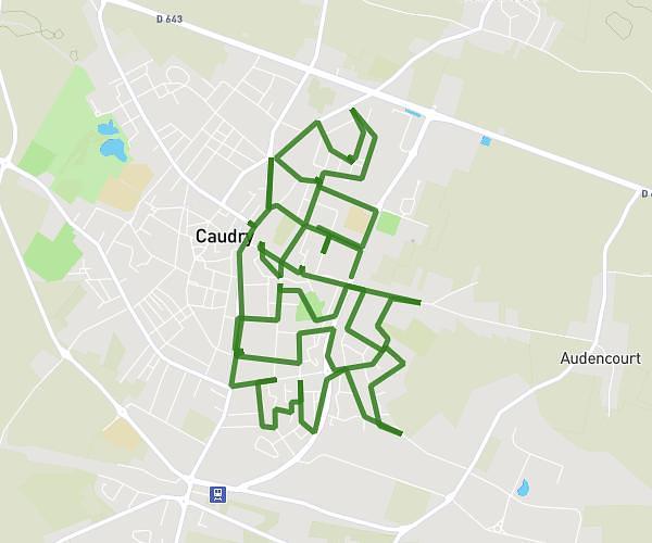
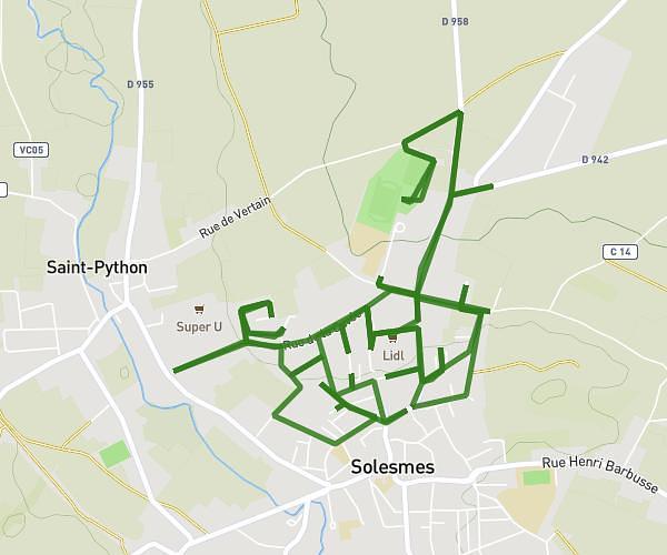
This running route covers 12.597mi starting from Maroilles, Nord. The run does not return to the trailhead and ends near 123 Grand' Rue, 59550 Maroilles, France. This run is rated as strenuous, expect about 2h15m to complete it. The route has an elevation gain of 509ft and an elevation loss of 482ft.
20KM-MAROILLES-JML
Route details
5.59mph
Speed
1545 kcal
Calories burned
Point to point
Route type
430ft
Min altitude
617ft
Max altitude
Route profile
509ft
Elevation gain
482ft
Elevation loss
430ft
Min altitude
617ft
Max altitude
How to get there
Trailhead: 42 Grand' Rue, 59550 Maroilles, France
GPS coordinates of the trailhead: 50.13398, 3.75972 / 50°8'2'' N, 3°45'34'' E