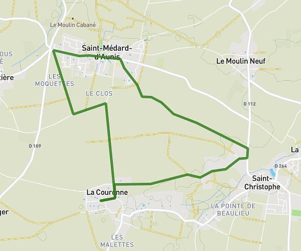
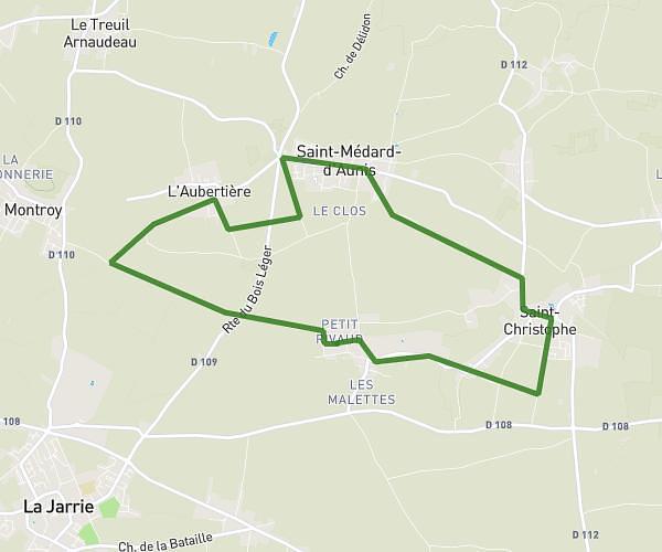
This running route covers 8.326mi starting from Saint-Ouen-d'Aunis, Charente-Maritime. The run does not return to the trailhead and ends near Rue Des Figuiers, 17140 Lagord. This run is rated as hard, expect about 1h13m to complete it. The route has an elevation gain of 72ft and an elevation loss of 36ft.
course SODA LAGORD
Route details
6.84mph
Speed
836 kcal
Calories burned
Point to point
Route type
13ft
Min altitude
85ft
Max altitude
Route profile
72ft
Elevation gain
36ft
Elevation loss
13ft
Min altitude
85ft
Max altitude
How to get there
Trailhead: Rue De Marans, 17230 Saint-Ouen-d'Aunis
GPS coordinates of the trailhead: 46.22187, -1.03382 / 46°13'18'' N, 1°2'1'' W