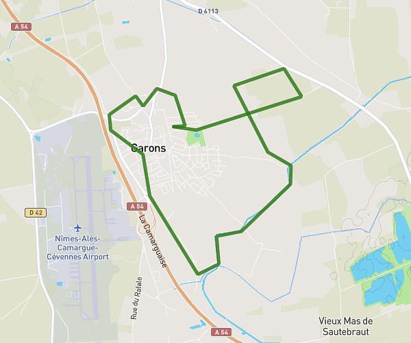
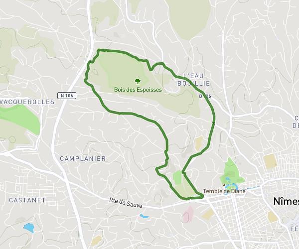
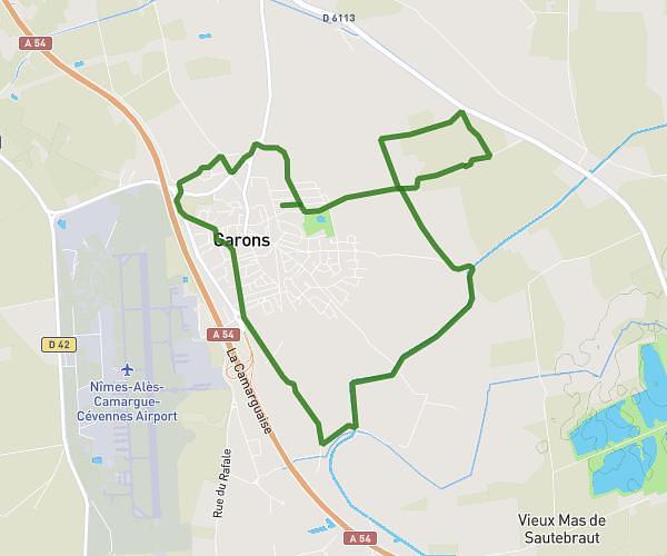
This running route covers 3.409mi starting from Marguerittes, Gard. The run is a loop trail and returns to the trailhead. This run is rated as easy, expect about 30m to complete it. The route has an elevation gain of 72ft and an elevation loss of 72ft.
Petite boucle
Route details
6.82mph
Speed
343 kcal
Calories burned
Loop trail
Route type
144ft
Min altitude
177ft
Max altitude
Route profile
72ft
Elevation gain
72ft
Elevation loss
144ft
Min altitude
177ft
Max altitude
How to get there
Trailhead: Rue Le Trident, 30320 Marguerittes
GPS coordinates of the trailhead: 43.85557, 4.4426 / 43°51'20'' N, 4°26'33'' E