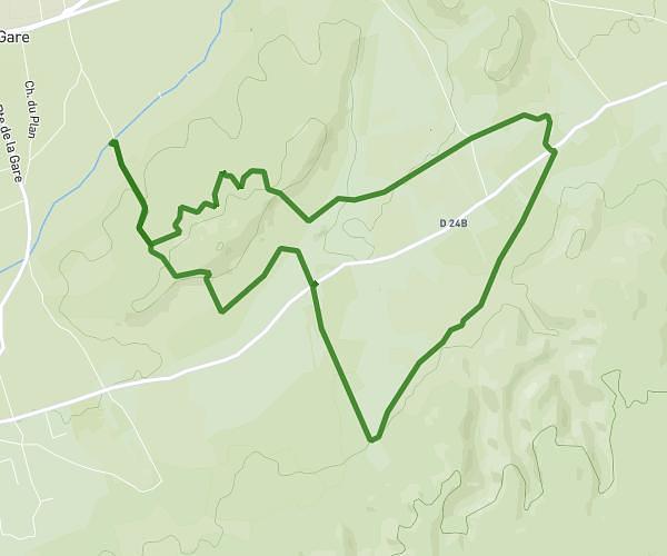
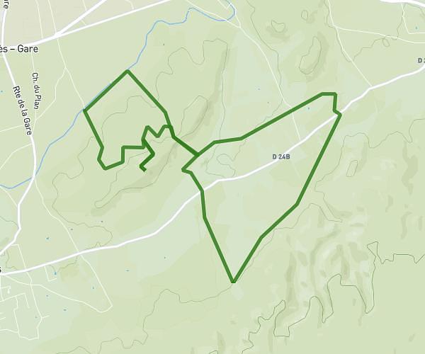
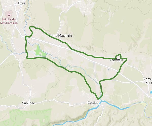
This running route covers 18.358mi starting from Pujaut, Gard. The run does not return to the trailhead and ends near Chemin Des Platanes, 30150 Sauveterre, France. This run is rated as strenuous, expect about 3h16m to complete it. The route has an elevation gain of 997ft and an elevation loss of 1148ft.
Pujaut rqmre Chateau9 four
Route details
5.59mph
Speed
2252 kcal
Calories burned
Point to point
Route type
59ft
Min altitude
384ft
Max altitude
Route profile
997ft
Elevation gain
1148ft
Elevation loss
59ft
Min altitude
384ft
Max altitude
How to get there
Trailhead: 6 Rue De La Croix De Fer, 30131 Pujaut, France
GPS coordinates of the trailhead: 44.006902, 4.769267 / 44°0'24'' N, 4°46'9'' E