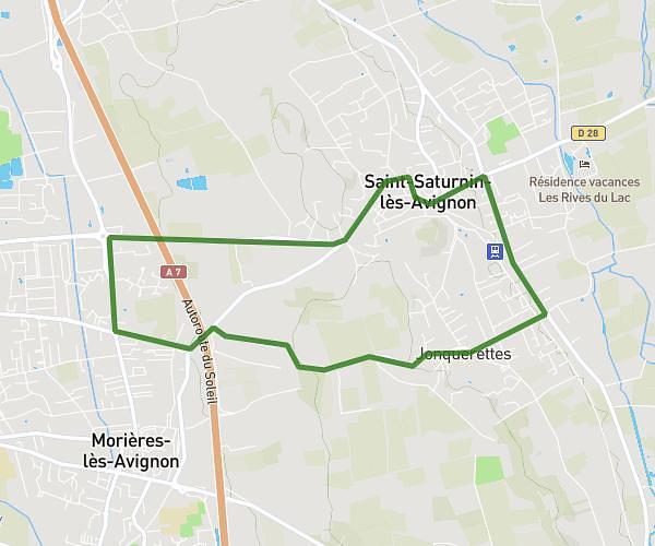
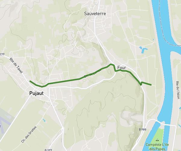
This running route covers 9.511mi starting from Carpentras, Vaucluse. The run is a loop trail and returns to the trailhead. This run is rated as hard, expect about 1h45m to complete it. The route has an elevation gain of 531ft and an elevation loss of 535ft.
15km
Route details
5.44mph
Speed
1201 kcal
Calories burned
Loop trail
Route type
121ft
Min altitude
318ft
Max altitude
Route profile
531ft
Elevation gain
535ft
Elevation loss
121ft
Min altitude
318ft
Max altitude
How to get there
Trailhead: 124 Boulevard Du Maréchal Leclerc, 84200 Carpentras, France
GPS coordinates of the trailhead: 44.056552, 5.045904 / 44°3'23'' N, 5°2'45'' E