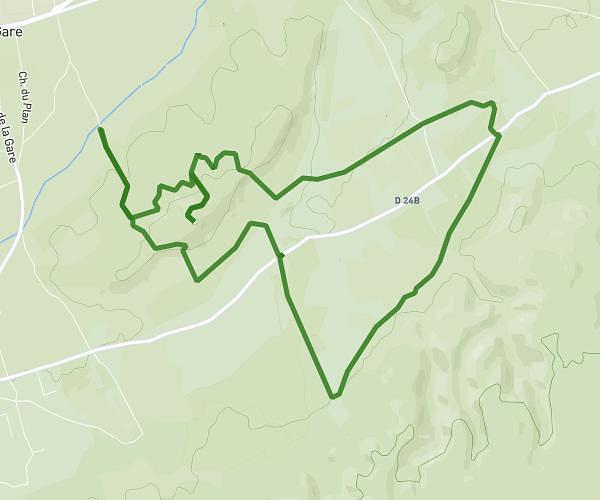
This running route covers 8.1mi starting from Eygalières, Bouches-du-Rhône. The run is a loop trail and returns to the trailhead. This run is rated as hard, expect about 1h30m to complete it. The route has an elevation gain of 1004ft and an elevation loss of 1007ft.
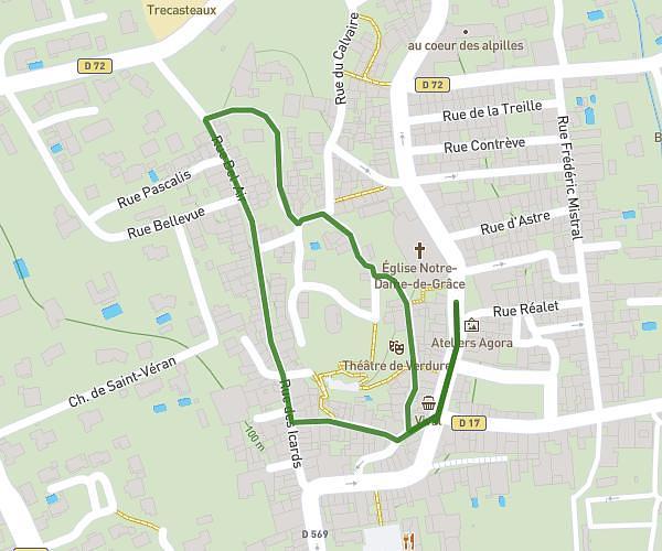
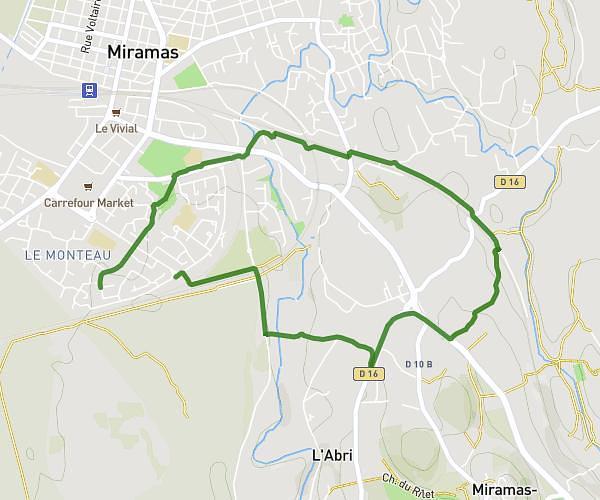
Course 2
Route details
5.4mph
Speed
1029 kcal
Calories burned
Loop trail
Route type
262ft
Min altitude
522ft
Max altitude
Route profile
1004ft
Elevation gain
1007ft
Elevation loss
262ft
Min altitude
522ft
Max altitude
How to get there
Trailhead: 247 Chemin Du Haut Contras, 13810 Eygalières, France
GPS coordinates of the trailhead: 43.780708, 4.967508 / 43°46'50'' N, 4°58'3'' E