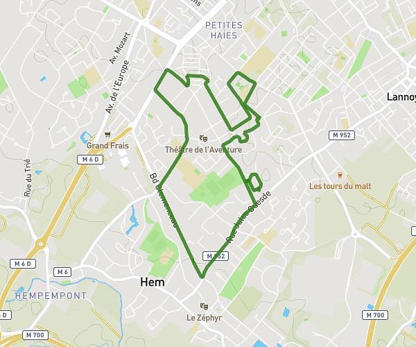
Explore this hiking route of 4,028mi starting from Hem, Nord. The hike is a loop and returns to the starting point. This hike has no defined difficulty level, plan for about 1h32m to complete it. The route has a positive elevation gain of 226ft and a negative elevation loss of 226ft.
Joris 1
Route details
Route profile
226ft
Elevation +
226ft
Elevation -
105ft
Min altitude
167ft
Max altitude
How to get there
Route starting point: 12 Rue Edison, 59510 Hem, France
GPS coordinates of the starting point: 50.660172, 3.195156 / 50°39'36'' N, 3°11'42'' E