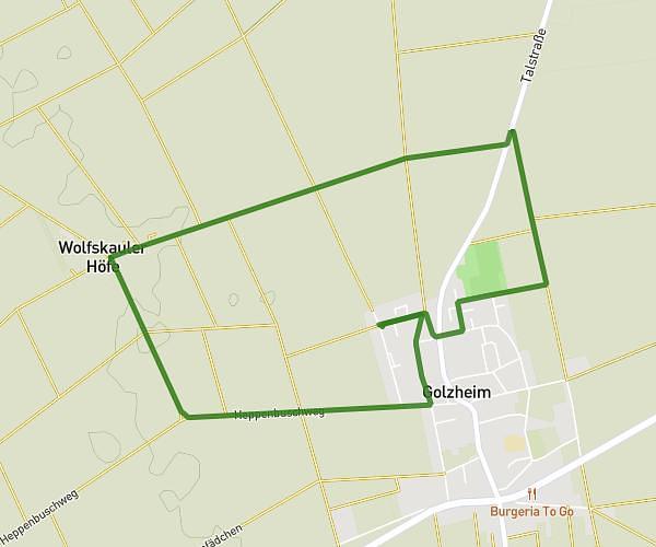
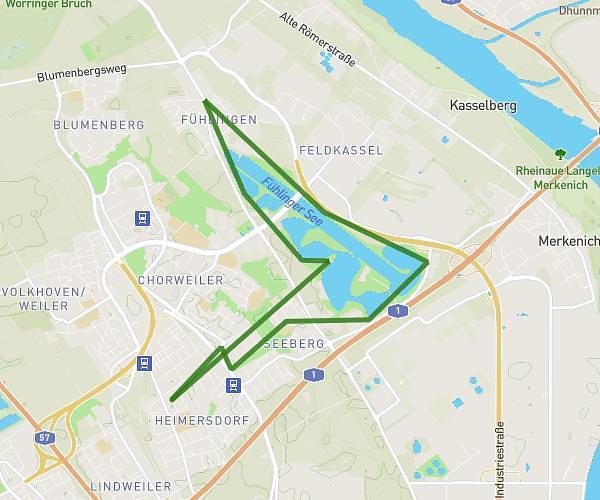
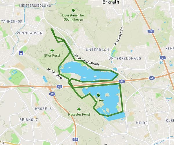
This running route covers 10.386mi starting from Köln, North Rhine-Westphalia. The run is a loop trail and returns to the trailhead. This run is rated as hard, expect about 1h43m to complete it. The route has an elevation gain of 23ft and an elevation loss of 26ft.
Rheinrunde
Route details
6.05mph
Speed
1178 kcal
Calories burned
Loop trail
Route type
148ft
Min altitude
174ft
Max altitude
Route profile
23ft
Elevation gain
26ft
Elevation loss
148ft
Min altitude
174ft
Max altitude
How to get there
Trailhead: Liebigstraße 52, 50823 Köln, Germany
GPS coordinates of the trailhead: 50.95345, 6.92719 / 50°57'12'' N, 6°55'37'' E