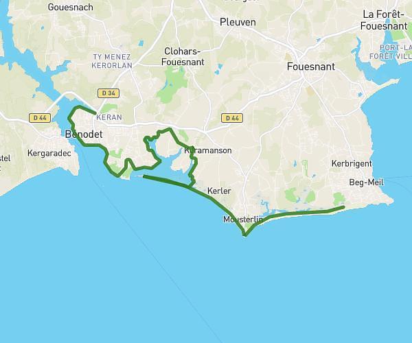
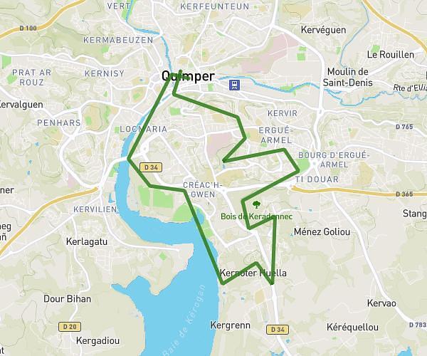
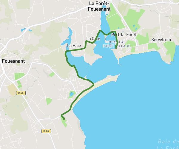
This running route covers 10.658mi starting from Plonéour-Lanvern, Finistère. The run does not return to the trailhead and ends near Hent Kergoff, 29700 Plomelin. This run is rated as hard, expect about 1h25m to complete it. The route has an elevation gain of 161ft and an elevation loss of 46ft.
PLONEOUR/PLOMELIN
Route details
7.46mph
Speed
980 kcal
Calories burned
Point to point
Route type
72ft
Min altitude
187ft
Max altitude
Route profile
161ft
Elevation gain
46ft
Elevation loss
72ft
Min altitude
187ft
Max altitude
How to get there
Trailhead: Kervouyen Bihan, 29720 Plonéour-Lanvern
GPS coordinates of the trailhead: 47.87544, -4.30448 / 47°52'31'' N, 4°18'16'' W