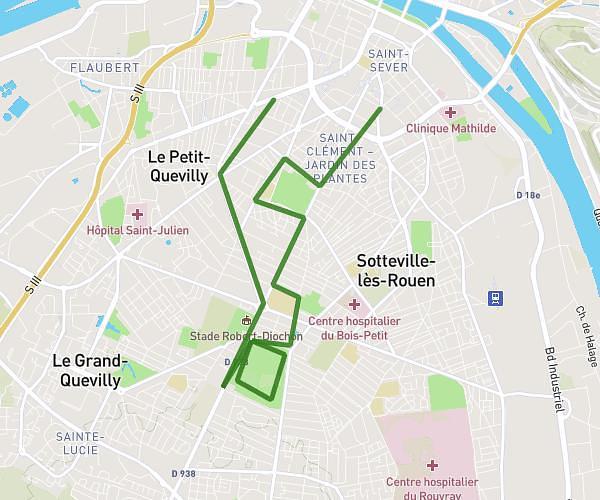
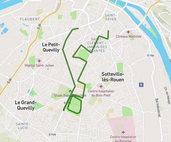
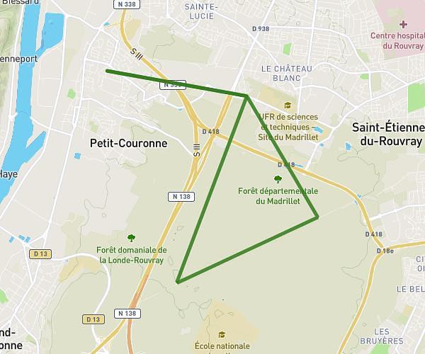
This running route covers 16.261mi starting from Rouen, Seine-Maritime. The run is a loop trail and returns to the trailhead. This run is rated as strenuous, expect about 2h37m to complete it. The route has an elevation gain of 2165ft and an elevation loss of 2165ft.
3 Panoramas Rouen
Route details
6.21mph
Speed
1795 kcal
Calories burned
Loop trail
Route type
0ft
Min altitude
476ft
Max altitude
Route profile
2165ft
Elevation gain
2165ft
Elevation loss
0ft
Min altitude
476ft
Max altitude
How to get there
Trailhead: 2 Rue Du Tour, 76000 Rouen, France
GPS coordinates of the trailhead: 49.440215, 1.122451 / 49°26'24'' N, 1°7'20'' E