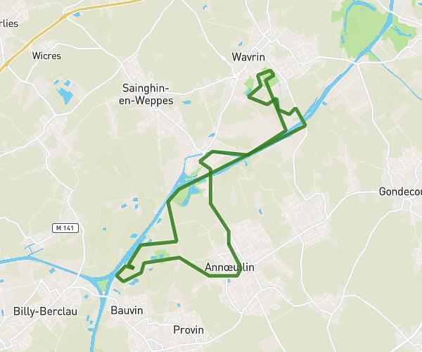
This running route covers 10.08mi starting from Tourcoing, Nord. The run is a loop trail and returns to the trailhead. This run is rated as hard, expect about 2h to complete it. The route has an elevation gain of 56ft and an elevation loss of 66ft.
16km
Route details
5.04mph
Speed
1372 kcal
Calories burned
Loop trail
Route type
105ft
Min altitude
164ft
Max altitude
Route profile
56ft
Elevation gain
66ft
Elevation loss
105ft
Min altitude
164ft
Max altitude
How to get there
Trailhead: Allée Norbert Ségard, 59200 Tourcoing
GPS coordinates of the trailhead: 50.72725, 3.12644 / 50°43'38'' N, 3°7'35'' E