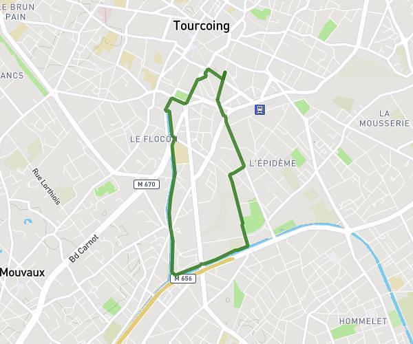
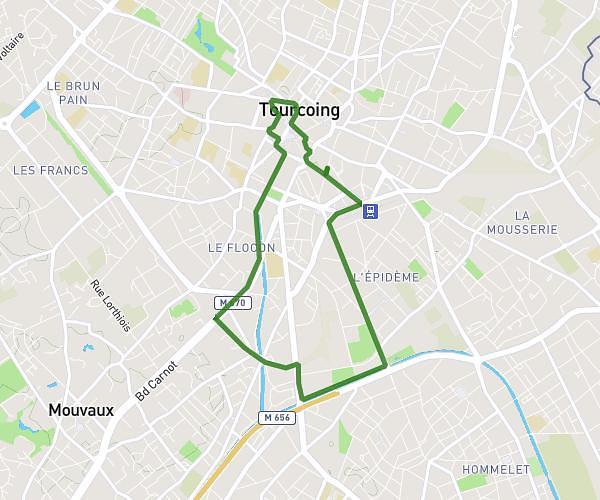
This walking route covers 9.879mi starting from Mouscron, Hainaut. The walk is a loop trail and returns to the trailhead. This walk is rated as strenuous, plan for about 3h31m to complete it. The route has an elevation gain of 525ft and an elevation loss of 525ft.
Petit train 20 mai 2026
Route details
21:27/mi
Pace
866 kcal
Calories burned
Loop trail
Route type
69ft
Min altitude
194ft
Max altitude
Route profile
525ft
Elevation gain
525ft
Elevation loss
69ft
Min altitude
194ft
Max altitude
How to get there
Trailhead: Rue De Courtrai - Kortrijkstraat 32, 7700 Mouscron, Hainaut, Belgium
GPS coordinates of the trailhead: 50.745419, 3.216788 / 50°44'43'' N, 3°13'0'' E