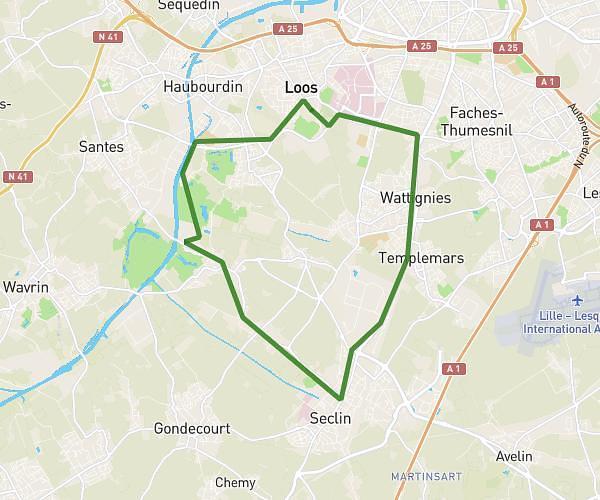
This running route covers 13.128mi starting from Estaimpuis, Hainaut. The run is a loop trail and returns to the trailhead. This run is rated as strenuous, expect about 2h7m to complete it. The route has an elevation gain of 20ft and an elevation loss of 20ft.
semi 2025 estaimpuis
Route details
6.2mph
Speed
1452 kcal
Calories burned
Loop trail
Route type
52ft
Min altitude
72ft
Max altitude
Route profile
20ft
Elevation gain
20ft
Elevation loss
52ft
Min altitude
72ft
Max altitude
How to get there
Trailhead: Place De Bourgogne, 7730 Estaimpuis
GPS coordinates of the trailhead: 50.6829, 3.31799 / 50°40'58'' N, 3°19'4'' E