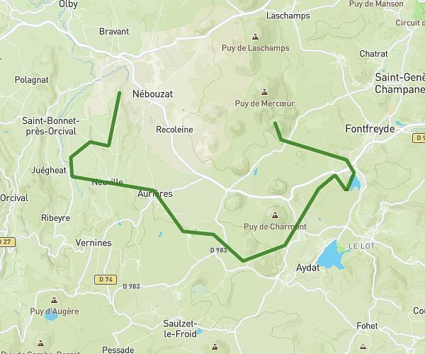
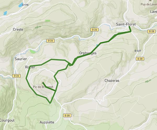
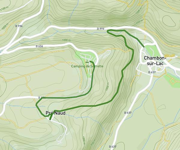
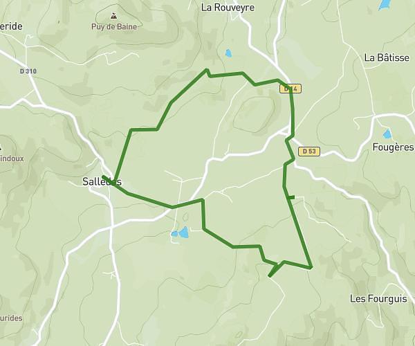
This hiking trail covers 11.258mi starting from Issoire, Puy-de-Dôme. The hike is a loop trail and returns to the trailhead. This hike is rated as hard, plan for about 3h55m to complete it. The route has an elevation gain of 1253ft and an elevation loss of 1250ft.
1CIE avril 2025
Route details
2.88mph
Speed
1703 kcal
Calories burned
4.2%
Avg grade
Loop trail
Route type
1283ft
Min altitude
1893ft
Max altitude
Route profile
1253ft
Elevation gain
1250ft
Elevation loss
1283ft
Min altitude
1893ft
Max altitude
How to get there
Trailhead: Avenue De Bange, 63500 Issoire
GPS coordinates of the trailhead: 45.53399, 3.24948 / 45°32'2'' N, 3°14'58'' E