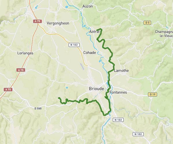
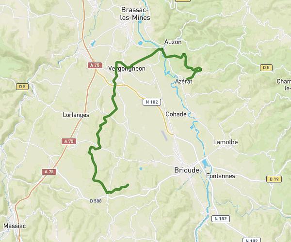
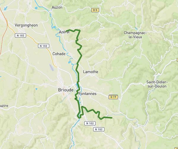
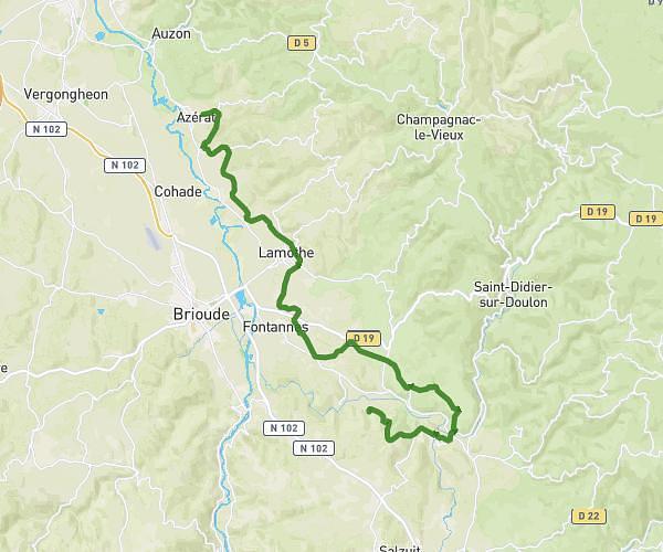
This cycling route covers 18.58mi starting from Azérat, Haute-Loire. The ride does not return to the trailhead and ends near Rue De Combes Gras, 43100 Agnat, France. This route is rated as hard, plan for about 1h52m to complete it. The route has an elevation gain of 1808ft and an elevation loss of 1129ft.
Chassignol Sarniaguet
Route details
1004 kcal
Calories burned
3.0%
Avg grade
Point to point
Route type
1503ft
Min altitude
3291ft
Max altitude
Route profile
1808ft
Elevation gain
1129ft
Elevation loss
1503ft
Min altitude
3291ft
Max altitude
How to get there
Trailhead: D 163, 43390 Azérat, France
GPS coordinates of the trailhead: 45.363033, 3.386429 / 45°21'46'' N, 3°23'11'' E