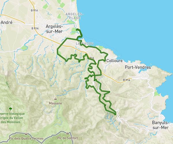
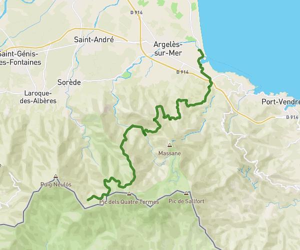
This cycling route covers 31.984mi starting from Argelès-sur-Mer, Pyrénées-Orientales. The ride is a loop trail and returns to the trailhead. This route is rated as strenuous, plan for about 3h13m to complete it. The route has an elevation gain of 7464ft and an elevation loss of 7464ft.
Route des cols
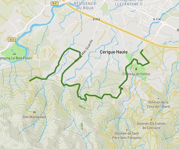
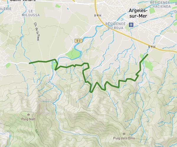
Route details
1788 kcal
Calories burned
8.8%
Avg grade
Loop trail
Route type
-3ft
Min altitude
1591ft
Max altitude
Steep climb
Route profile
7464ft
Elevation gain
7464ft
Elevation loss
-3ft
Min altitude
1591ft
Max altitude
How to get there
Trailhead: 10 Avenue Du Grau, 66700 Argelès-sur-Mer, France
GPS coordinates of the trailhead: 42.546836, 3.046449 / 42°32'48'' N, 3°2'47'' E