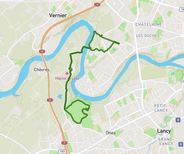
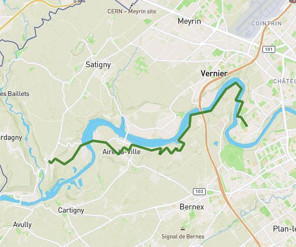
This running route covers 3.884mi starting from Le Lignon, Geneva. The run is a loop trail and returns to the trailhead. This run is rated as easy, expect about 45m to complete it. The route has an elevation gain of 636ft and an elevation loss of 636ft.
Lignon-loex-givaudan
Route details
5.18mph
Speed
515 kcal
Calories burned
Loop trail
Route type
1214ft
Min altitude
1362ft
Max altitude
Route profile
636ft
Elevation gain
636ft
Elevation loss
1214ft
Min altitude
1362ft
Max altitude
How to get there
Trailhead: Chemin Du Château-Bloch, 1219 Le Lignon
GPS coordinates of the trailhead: 46.20771, 6.09788 / 46°12'27'' N, 6°5'52'' E