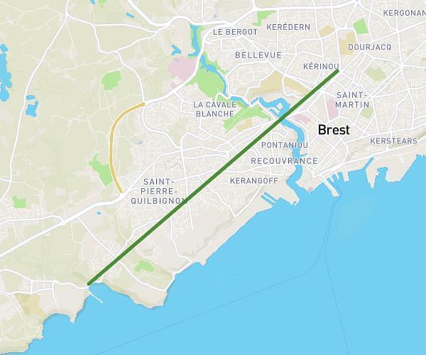
This running route covers 17.522mi starting from Plougonvelin, Finistère. The run does not return to the trailhead and ends near 360 Route De La Pointe De Corsen, 29810 Plouarzel, France. This run is rated as strenuous, expect about 2h20m to complete it. The route has an elevation gain of 10ft and an elevation loss of 49ft.
La cote de Brest
Route details
7.46mph
Speed
1612 kcal
Calories burned
Point to point
Route type
33ft
Min altitude
82ft
Max altitude
Route profile
10ft
Elevation gain
49ft
Elevation loss
33ft
Min altitude
82ft
Max altitude
How to get there
Trailhead: Sentier Côtier, 29217 Plougonvelin, France
GPS coordinates of the trailhead: 48.33462, -4.70806 / 48°20'4'' N, 4°42'29'' W