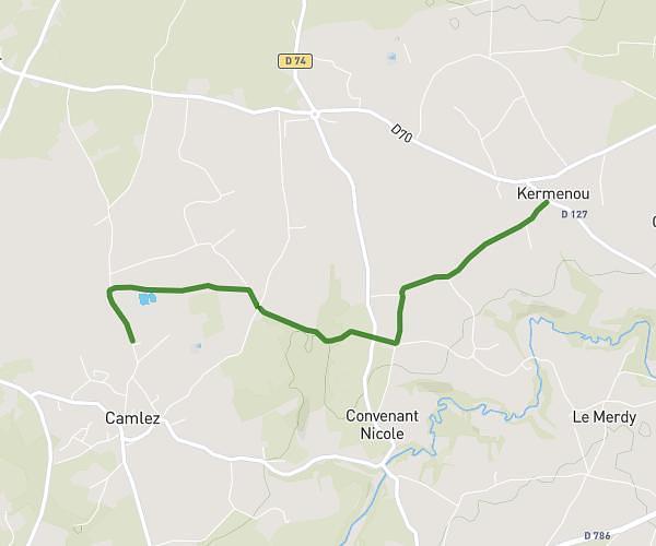
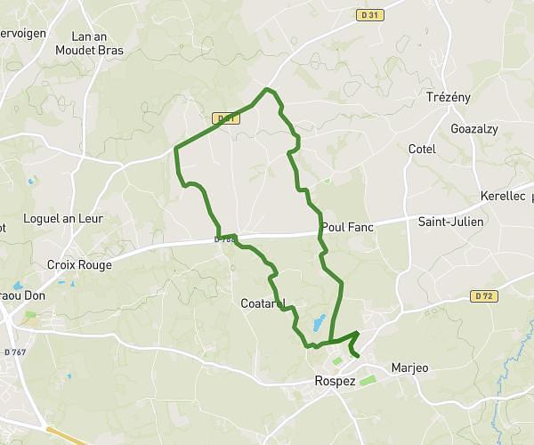
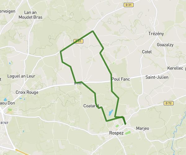
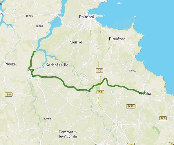
This running route covers 6.526mi starting from Perros-Guirec, Côtes-d'Armor. The run is a loop trail and returns to the trailhead. This run is rated as moderate, expect about 52m30s to complete it. The route has an elevation gain of 144ft and an elevation loss of 43ft.
TOUR DE CÔTE DE GRANITE ROSE
Route details
7.46mph
Speed
600 kcal
Calories burned
Loop trail
Route type
23ft
Min altitude
164ft
Max altitude
Route profile
144ft
Elevation gain
43ft
Elevation loss
23ft
Min altitude
164ft
Max altitude
How to get there
Trailhead: 3 Boulevard Joseph Le Bihan, 22700 Perros-Guirec, France
GPS coordinates of the trailhead: 48.81669, -3.46041 / 48°49'0'' N, 3°27'37'' W