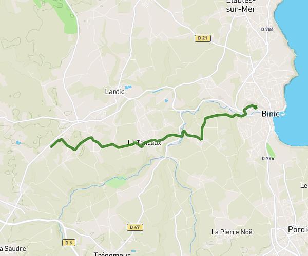
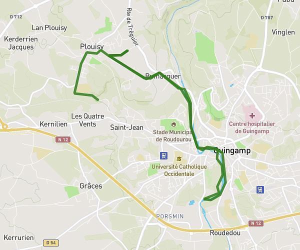
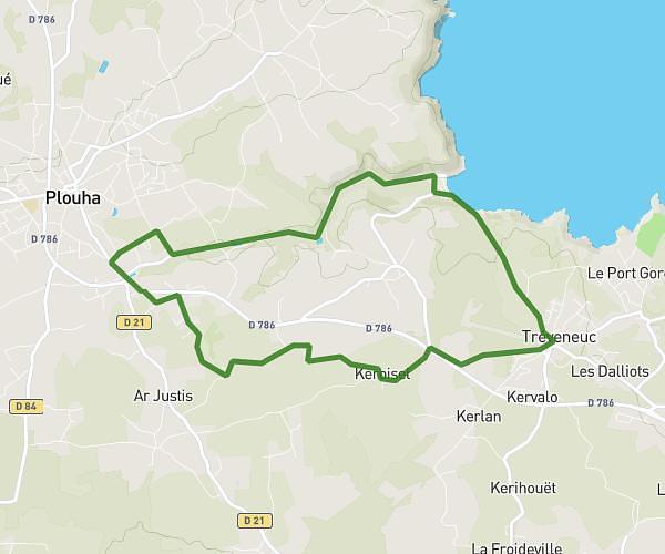
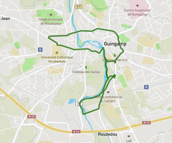
This running route covers 16.42mi starting from Ploëzal, Côtes-d'Armor. The run does not return to the trailhead and ends near 38 Rue Pierre Loti, 22580 Plouha, France. This run is rated as strenuous, expect about 1h53m to complete it. The route has an elevation gain of 230ft and an elevation loss of 105ft.
Moby'dick J1 plouha Plouha
Route details
8.7mph
Speed
1295 kcal
Calories burned
Point to point
Route type
171ft
Min altitude
331ft
Max altitude
Route profile
230ft
Elevation gain
105ft
Elevation loss
171ft
Min altitude
331ft
Max altitude
How to get there
Trailhead: D 787, 22260 Ploëzal, France
GPS coordinates of the trailhead: 48.73251, -3.15447 / 48°43'57'' N, 3°9'16'' W