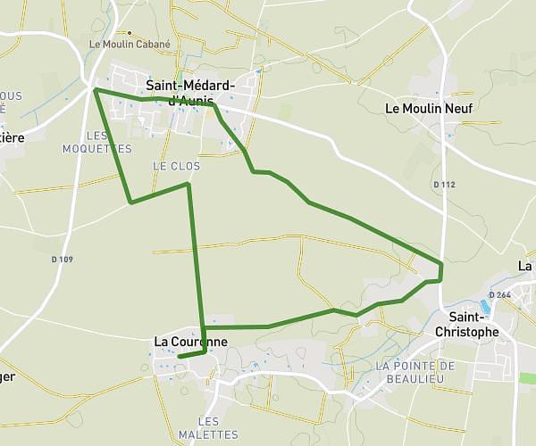
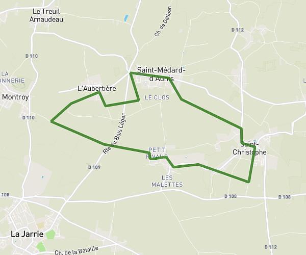
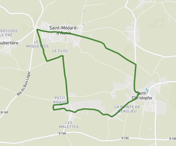
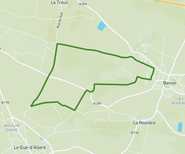
This running route covers 4.803mi starting from La Laigne, Charente-Maritime. The run is a loop trail and returns to the trailhead. This run is rated as easy, expect about 52m to complete it. The route has an elevation gain of 141ft and an elevation loss of 141ft.
Chez oim + venere
Route details
5.54mph
Speed
595 kcal
Calories burned
Loop trail
Route type
13ft
Min altitude
85ft
Max altitude
Route profile
141ft
Elevation gain
141ft
Elevation loss
13ft
Min altitude
85ft
Max altitude
How to get there
Trailhead: 3 Rue De La Guédivière, 17170 La Laigne, France
GPS coordinates of the trailhead: 46.216345, -0.757447 / 46°12'58'' N, 0°45'26'' W