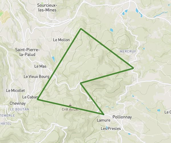
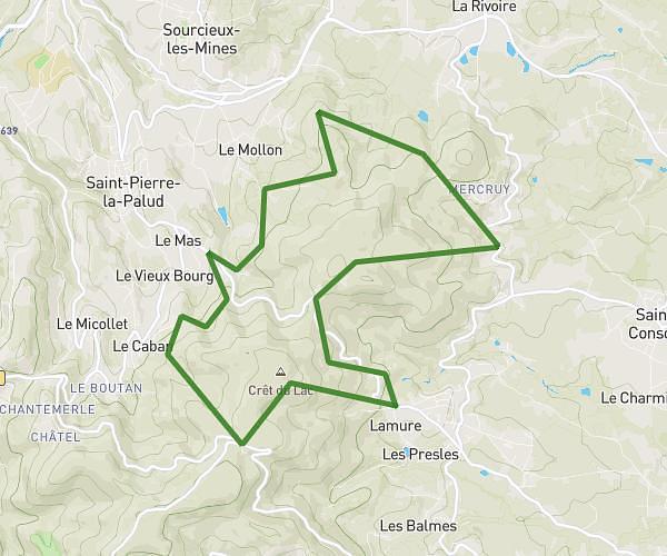
This running route covers 4.994mi starting from Villeurbanne, Rhône. The run is a loop trail and returns to the trailhead. This run is rated as moderate, expect about 55m to complete it. The route has an elevation gain of 249ft and an elevation loss of 249ft.
Dimanche 1 fevrier
Route details
5.45mph
Speed
629 kcal
Calories burned
Loop trail
Route type
561ft
Min altitude
610ft
Max altitude
Route profile
249ft
Elevation gain
249ft
Elevation loss
561ft
Min altitude
610ft
Max altitude
How to get there
Trailhead: 2 Rue Galilée, 69100 Villeurbanne, France
GPS coordinates of the trailhead: 45.756107, 4.879191 / 45°45'21'' N, 4°52'45'' E