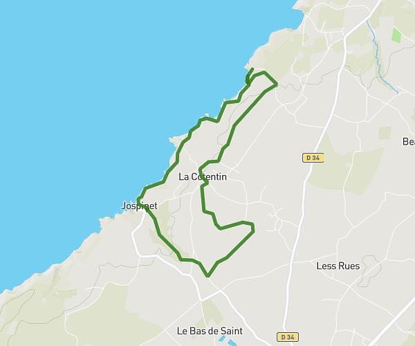
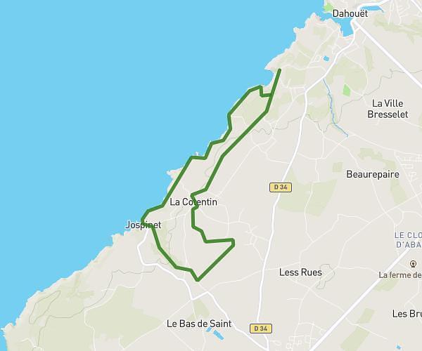
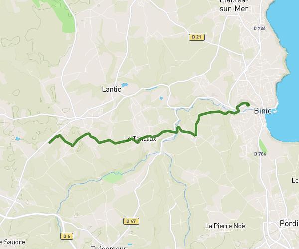
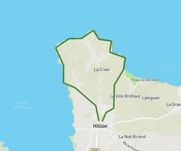
This running route covers 4.597mi starting from Pléneuf-Val-André, Côtes-d'Armor. The run is a loop trail and returns to the trailhead. This run is rated as easy, expect about 44m59s to complete it. The route has an elevation gain of 535ft and an elevation loss of 525ft.
Val
Route details
6.13mph
Speed
514 kcal
Calories burned
Loop trail
Route type
10ft
Min altitude
174ft
Max altitude
Route profile
535ft
Elevation gain
525ft
Elevation loss
10ft
Min altitude
174ft
Max altitude
How to get there
Trailhead: 3 Promenade De La Digue, 22370 Pléneuf-Val-André, France
GPS coordinates of the trailhead: 48.59115, -2.553 / 48°35'28'' N, 2°33'10'' W