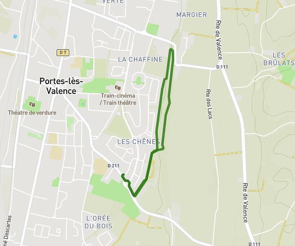
This walking route covers 2.214mi starting from La Laupie, Drôme. The walk is a loop trail and returns to the trailhead. This walk is rated as easy, plan for about 48m to complete it. The route has an elevation gain of 253ft and an elevation loss of 266ft.
Vieux village La Laupie
Route details
21:42/mi
Pace
196 kcal
Calories burned
Loop trail
Route type
413ft
Min altitude
607ft
Max altitude
Route profile
253ft
Elevation gain
266ft
Elevation loss
413ft
Min altitude
607ft
Max altitude
How to get there
Trailhead: 120 Chemin Des Ifs, 26740 La Laupie, France
GPS coordinates of the trailhead: 44.601566, 4.843806 / 44°36'5'' N, 4°50'37'' E