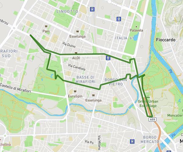
This running route covers 6.414mi starting from Torino, Turin. The run is a loop trail and returns to the trailhead. This run is rated as moderate, expect about 1h10m to complete it. The route has an elevation gain of 121ft and an elevation loss of 125ft.
10 km p.zza d'Armi-Fila
Route details
5.5mph
Speed
800 kcal
Calories burned
Loop trail
Route type
787ft
Min altitude
873ft
Max altitude
Route profile
121ft
Elevation gain
125ft
Elevation loss
787ft
Min altitude
873ft
Max altitude
How to get there
Trailhead: Corso Quattro Novembre 112, 10136 Torino Turin, Italy
GPS coordinates of the trailhead: 45.04385, 7.64986 / 45°2'37'' N, 7°38'59'' E