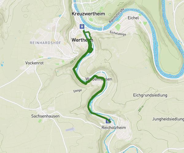
This running route covers 13.343mi starting from Wertheim, Baden-Württemberg. The run is a loop trail and returns to the trailhead. This run is rated as strenuous, expect about 2h23m to complete it. The route has an elevation gain of 39ft and an elevation loss of 36ft.
Description of the route by the creator
Start Tauberstadion Officials' footbridge Mühlenstrasse Marketplace Tauber Bridge Tauber parking lot Camping ground Bestenheid Swimming pool Bestenheid beer garden Turning point bridge to Hasloch Beer garden Bestenheid Swimming pool Campground Tauber parking lot Hämmelsgasse Obere Leberklinge Waldenhausen Teilbacher Mill Reicholzheim campground Reicholzheim turning point Kreisstrasse Campground Kreisstrasse Teilbacher Mill Waldenhausen Railroad underpass Untere Leberklinge Lower Leberklinge Finish in the Tauberstadion