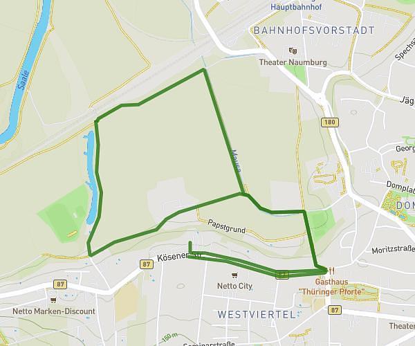
This running route covers 13.267mi starting from Jena, Thuringia. The run is a loop trail and returns to the trailhead. This run is rated as strenuous, expect about 2h22m to complete it. The route has an elevation gain of 1125ft and an elevation loss of 1129ft.
Halbmarathon
Route details
5.6mph
Speed
1624 kcal
Calories burned
Loop trail
Route type
433ft
Min altitude
1240ft
Max altitude
Route profile
1125ft
Elevation gain
1129ft
Elevation loss
433ft
Min altitude
1240ft
Max altitude
How to get there
Trailhead: Löbichauer Straße 98, 07749 Jena, Germany
GPS coordinates of the trailhead: 50.931811, 11.629042 / 50°55'54'' N, 11°37'44'' E