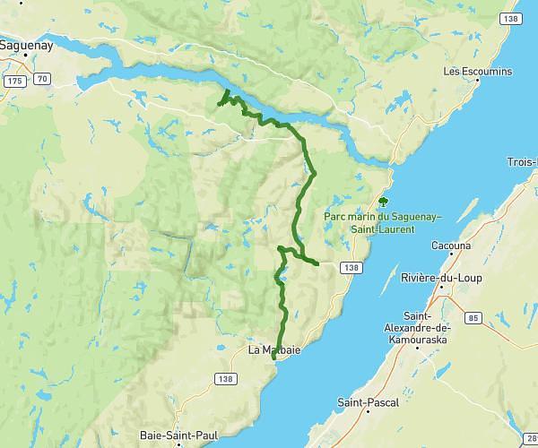
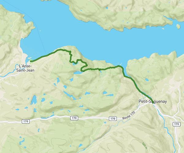
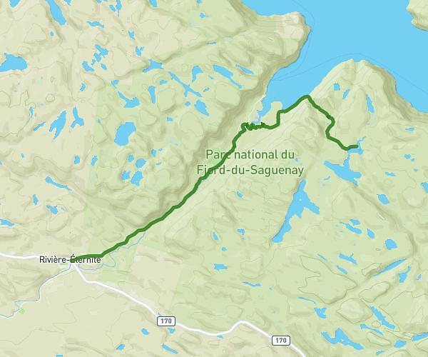
Explore this hiking route of 10.883mi starting from Petit-Saguenay, Quebec. The hike does not return to the starting point and ends near Route 170, G0V 1N0 Petit-Saguenay. This hike has no defined difficulty level, plan for about 3h24m to complete it. The route has a positive elevation gain of 827ft and a negative elevation loss of 335ft.
Jour 4 Petit Saguenay / Sagard
Route details
Route profile
827ft
Elevation +
335ft
Elevation -
59ft
Min altitude
558ft
Max altitude
How to get there
Route starting point: Rue Tremblay, G0V 1N0 Petit-Saguenay
GPS coordinates of the starting point: 48.21471, -70.07321 / 48°12'52'' N, 70°4'23'' W
Calculate the time to reach the starting point from your location or an address