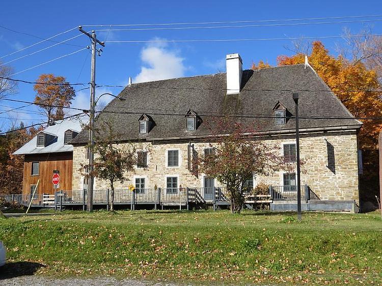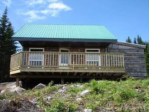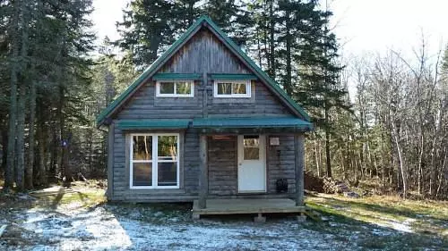
This hiking trail covers 11.114mi starting from Saint-Tite-des-Caps, Quebec. The hike does not return to the trailhead and ends near Chemin Du Cap-Tourmente, G0A 3X0 Saint-Joachim-de-Montmorency. This hike is rated as strenuous, plan for about 5h1m to complete it. The route has an elevation gain of 1490ft and an elevation loss of 3199ft.
Description of the route by the creator
For more information about the Notre Dame de Quebec Trail, visit: <a rel="noopener noreferrer" target="_blank" href="https://www.kapoah.com">https://www.kapoah.com</a> Day 1: <a rel="noopener noreferrer" target="_blank" href="https://www.map-planner.fr/utilisateurs/kapoah/parcours/kapoah-1-10-la-malbaie-quebec-jour-1">https://www.map-planner.fr/utilisateurs/kapoah/parcours/kapoah-1-10-la-malbaie-quebec-jour-1</a> Day 2: <a rel="noopener noreferrer" target="_blank" href="https://www.map-planner.fr/utilisateurs/kapoah/parcours/kapoah-2-10-la-malbaie-quebec-jour-2">https://www.map-planner.fr/utilisateurs/kapoah/parcours/kapoah-2-10-la-malbaie-quebec-jour-2</a> Day 3: <a rel="noopener noreferrer" target="_blank" href="https://www.map-planner.fr/utilisateurs/kapoah/parcours/kapoah-3-10-la-malbaie-quebec-jour-3">https://www.map-planner.fr/utilisateurs/kapoah/parcours/kapoah-3-10-la-malbaie-quebec-jour-3</a> Day 4: <a rel="noopener noreferrer" target="_blank" href="https://www.map-planner.fr/utilisateurs/kapoah/parcours/kapoah-4-10-la-malbaie-quebec-jour-4">https://www.map-planner.fr/utilisateurs/kapoah/parcours/kapoah-4-10-la-malbaie-quebec-jour-4</a> Day 5: <a rel="noopener noreferrer" target="_blank" href="https://www.map-planner.fr/utilisateurs/kapoah/parcours/kapoah-5-10-la-malbaie-quebec-jour-5">https://www.map-planner.fr/utilisateurs/kapoah/parcours/kapoah-5-10-la-malbaie-quebec-jour-5</a> Day 6: <a rel="noopener noreferrer" target="_blank" href="https://www.map-planner.fr/utilisateurs/kapoah/parcours/kapoah-6-10-la-malbaie-quebec-jour-6">https://www.map-planner.fr/utilisateurs/kapoah/parcours/kapoah-6-10-la-malbaie-quebec-jour-6</a> Day 7: <a rel="noopener noreferrer" target="_blank" href="https://www.map-planner.fr/utilisateurs/kapoah/parcours/kapoah-7-10-la-malbaie-quebec-jour-7">https://www.map-planner.fr/utilisateurs/kapoah/parcours/kapoah-7-10-la-malbaie-quebec-jour-7</a> Day 8: <a rel="noopener noreferrer" target="_blank" href="https://www.map-planner.fr/utilisateurs/kapoah/parcours/kapoah-8-10-la-malbaie-quebec-jour-8">https://www.map-planner.fr/utilisateurs/kapoah/parcours/kapoah-8-10-la-malbaie-quebec-jour-8</a> Day 9: <a rel="noopener noreferrer" target="_blank" href="https://www.map-planner.fr/utilisateurs/kapoah/parcours/kapoah-9-10-la-malbaie-quebec-jour-9">https://www.map-planner.fr/utilisateurs/kapoah/parcours/kapoah-9-10-la-malbaie-quebec-jour-9</a> Day 10: <a rel="noopener noreferrer" target="_blank" href="https://www.map-planner.fr/utilisateurs/kapoah/parcours/kapoah-10-10-la-malbaie-quebec-jour-10">https://www.map-planner.fr/utilisateurs/kapoah/parcours/kapoah-10-10-la-malbaie-quebec-jour-10</a>