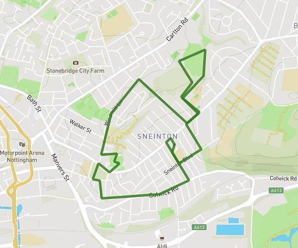
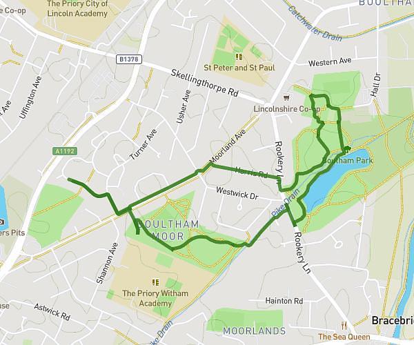
This walking route covers 7.585mi starting from Newark, England. The walk is a loop trail and returns to the trailhead. This walk is rated as strenuous, plan for about 2h43m to complete it. The route has an elevation gain of 184ft and an elevation loss of 184ft.
Scone walk
Route details
21:30/mi
Pace
666 kcal
Calories burned
Loop trail
Route type
46ft
Min altitude
75ft
Max altitude
Route profile
184ft
Elevation gain
184ft
Elevation loss
46ft
Min altitude
75ft
Max altitude
How to get there
Trailhead: 27 Worthington Road, Balderton, Newark, NG24 3RE, United Kingdom
GPS coordinates of the trailhead: 53.052849, -0.773496 / 53°3'10'' N, 0°46'24'' W