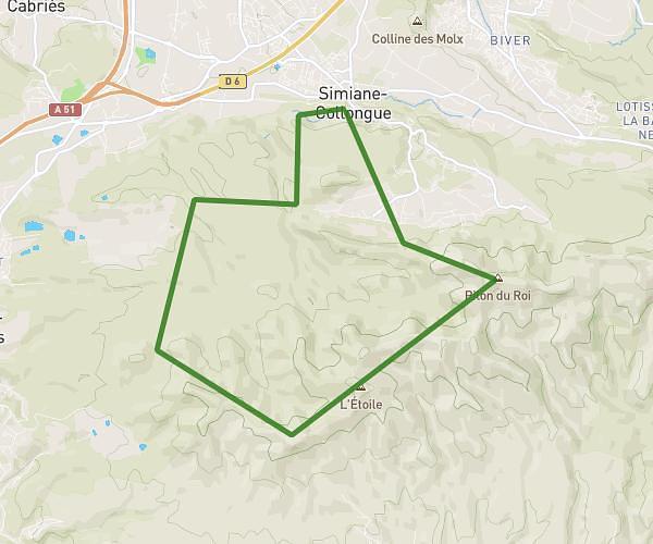
This running route covers 3.164mi starting from Rousset, Bouches-du-Rhône. The run is a loop trail and returns to the trailhead. This run is rated as easy, expect about 34m to complete it. The route has an elevation gain of 407ft and an elevation loss of 407ft.
tour du moulin
Route details
5.59mph
Speed
389 kcal
Calories burned
Loop trail
Route type
666ft
Min altitude
932ft
Max altitude
Route profile
407ft
Elevation gain
407ft
Elevation loss
666ft
Min altitude
932ft
Max altitude
How to get there
Trailhead: 245 Avenue De Larciano, 13790 Rousset, France
GPS coordinates of the trailhead: 43.478159, 5.617258 / 43°28'41'' N, 5°37'2'' E