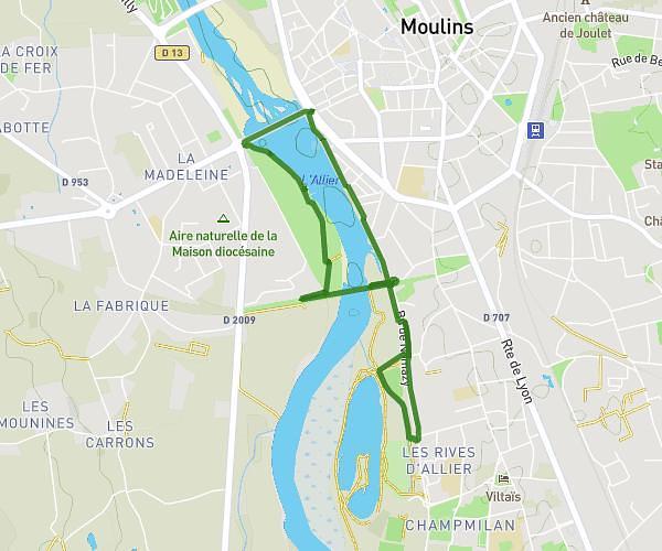
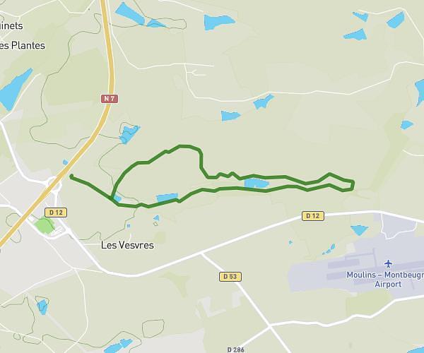
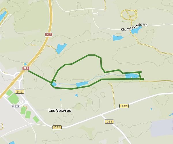
This walking route covers 2.786mi starting from Yzeure, Allier. The walk is a loop trail and returns to the trailhead. This walk is rated as easy, plan for about 1h to complete it. The route has an elevation gain of 217ft and an elevation loss of 233ft.
Les ozieres
Route details
21:33/mi
Pace
245 kcal
Calories burned
Loop trail
Route type
745ft
Min altitude
791ft
Max altitude
Route profile
217ft
Elevation gain
233ft
Elevation loss
745ft
Min altitude
791ft
Max altitude
How to get there
Trailhead: Route De Montbeugny, 03400 Yzeure, France
GPS coordinates of the trailhead: 46.547783, 3.374565 / 46°32'52'' N, 3°22'28'' E