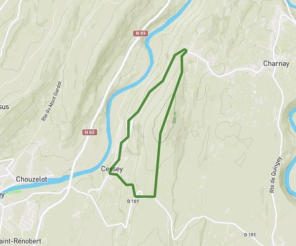
This running route covers 6.198mi starting from Vernierfontaine, Doubs. The run is a loop trail and returns to the trailhead. This run is rated as moderate, expect about 1h14m to complete it. The route has an elevation gain of 410ft and an elevation loss of 410ft.
10 km
Route details
4.97mph
Speed
855 kcal
Calories burned
Loop trail
Route type
2211ft
Min altitude
2484ft
Max altitude
Route profile
410ft
Elevation gain
410ft
Elevation loss
2211ft
Min altitude
2484ft
Max altitude
How to get there
Trailhead: 788 Rue De Saint-André, 25580 Vernierfontaine, France
GPS coordinates of the trailhead: 47.10245, 6.30167 / 47°6'8'' N, 6°18'6'' E