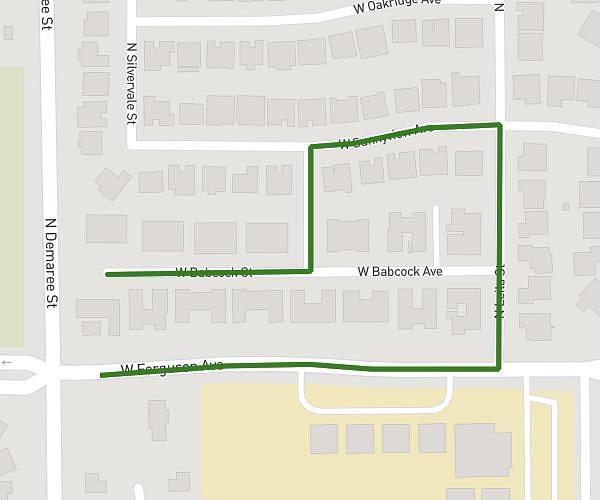
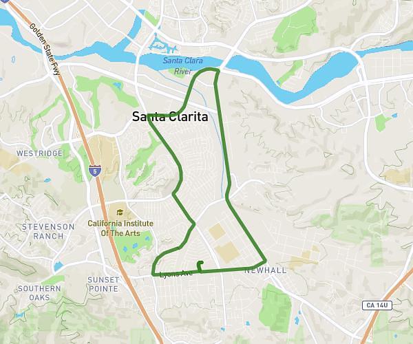
This running route covers 3.21mi starting from Visalia, California. The run is a loop trail and returns to the trailhead. This run is rated as easy, expect about 34m to complete it. The route has an elevation gain of 69ft and an elevation loss of 69ft.
3miles
Route details
5.67mph
Speed
389 kcal
Calories burned
Loop trail
Route type
285ft
Min altitude
305ft
Max altitude
Route profile
69ft
Elevation gain
69ft
Elevation loss
285ft
Min altitude
305ft
Max altitude
How to get there
Trailhead: 31140 Wolf St, Visalia, California 93291, United States
GPS coordinates of the trailhead: 36.355425, -119.407472 / 36°21'19'' N, 119°24'26'' W