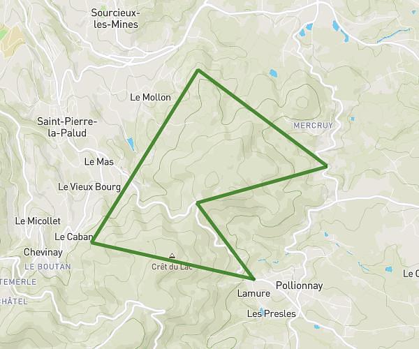
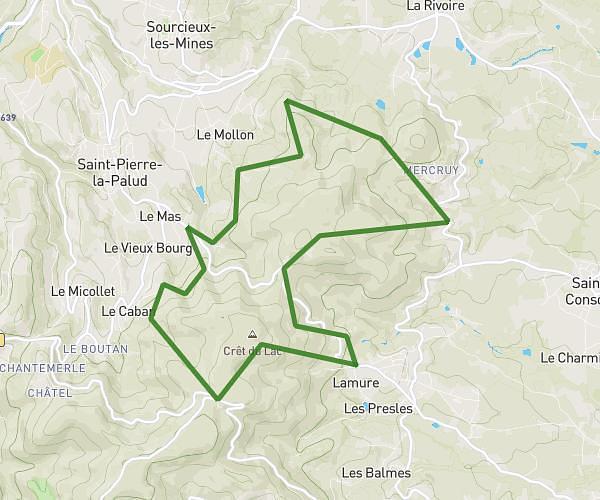
This running route covers 8.827mi starting from Montagny, Rhône. The run is a loop trail and returns to the trailhead. This run is rated as hard, expect about 1h35m to complete it. The route has an elevation gain of 210ft and an elevation loss of 308ft.
Lll
Route details
5.57mph
Speed
1086 kcal
Calories burned
Loop trail
Route type
571ft
Min altitude
879ft
Max altitude
Route profile
210ft
Elevation gain
308ft
Elevation loss
571ft
Min altitude
879ft
Max altitude
How to get there
Trailhead: 27 Impasse De La Croix Blanche, 69700 Montagny, France
GPS coordinates of the trailhead: 45.624827, 4.750238 / 45°37'29'' N, 4°45'0'' E