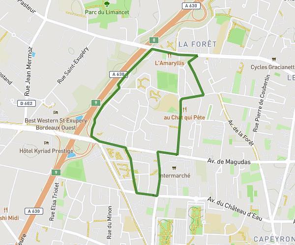
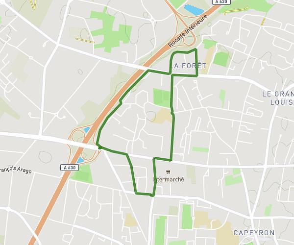
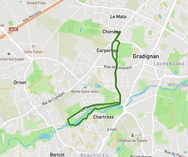
This running route covers 4.806mi starting from Bassens, Gironde. The run does not return to the trailhead and ends near 44 Rue Ampère, 33530 Bassens, France. This run is rated as easy, expect about 1h9m to complete it. The route has an elevation gain of 515ft and an elevation loss of 623ft.
Course à pied le ébauche P2 TUB 25
Route details
4.12mph
Speed
800 kcal
Calories burned
Point to point
Route type
-59ft
Min altitude
69ft
Max altitude
Route profile
515ft
Elevation gain
623ft
Elevation loss
-59ft
Min altitude
69ft
Max altitude
How to get there
Trailhead: 7 Avenue Manon Cormier, 33530 Bassens, France
GPS coordinates of the trailhead: 44.90431, -0.51844 / 44°54'15'' N, 0°31'6'' W