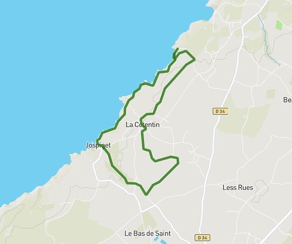
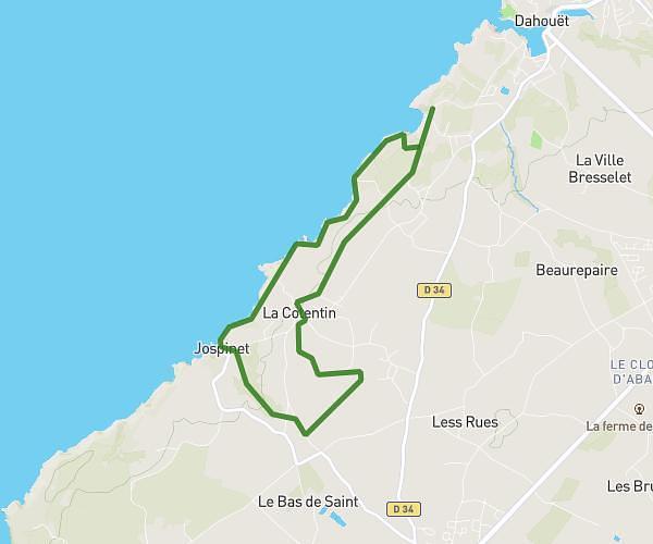
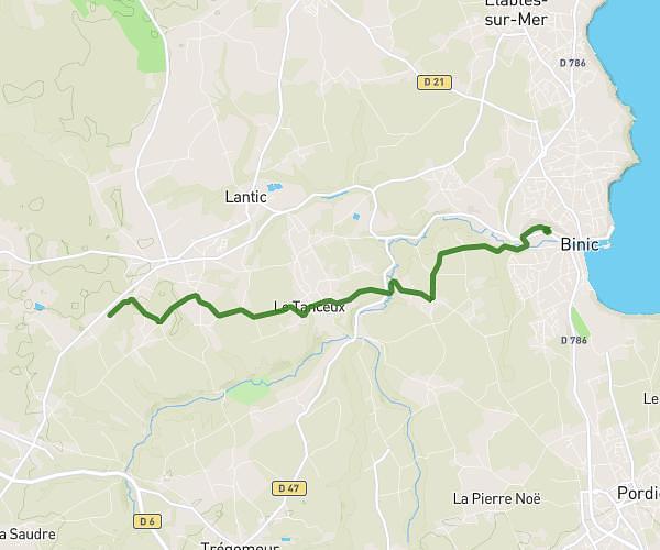
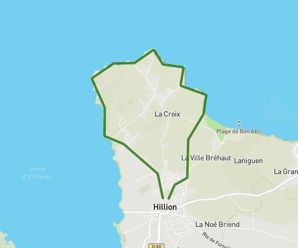
This running route covers 6.374mi starting from Plérin, Côtes-d'Armor. The run is a loop trail and returns to the trailhead. This run is rated as moderate, expect about 1h2m to complete it. The route has an elevation gain of 194ft and an elevation loss of 102ft.
Course Plérin
Route details
6.17mph
Speed
709 kcal
Calories burned
Loop trail
Route type
154ft
Min altitude
348ft
Max altitude
Route profile
194ft
Elevation gain
102ft
Elevation loss
154ft
Min altitude
348ft
Max altitude
How to get there
Trailhead: 27 Rue Du Roselier, 22190 Plérin, France
GPS coordinates of the trailhead: 48.54776, -2.73326 / 48°32'51'' N, 2°43'59'' W