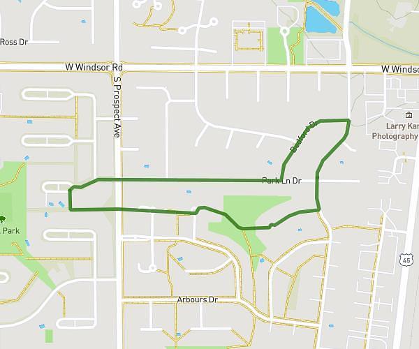
This running route covers 2.284mi starting from Aurora, Illinois. The run is a loop trail and returns to the trailhead. This run is rated as easy, expect about 30m27s to complete it. The route has an elevation gain of 151ft and an elevation loss of 151ft.
Waubonsee Creek Trail
Route details
4.5mph
Speed
348 kcal
Calories burned
Loop trail
Route type
669ft
Min altitude
699ft
Max altitude
Route profile
151ft
Elevation gain
151ft
Elevation loss
669ft
Min altitude
699ft
Max altitude
How to get there
Trailhead: Village Green Drive, Aurora, Illinois 60504, United States
GPS coordinates of the trailhead: 41.747037, -88.248394 / 41°44'49'' N, 88°14'54'' W