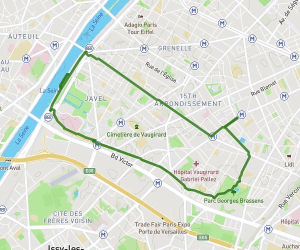
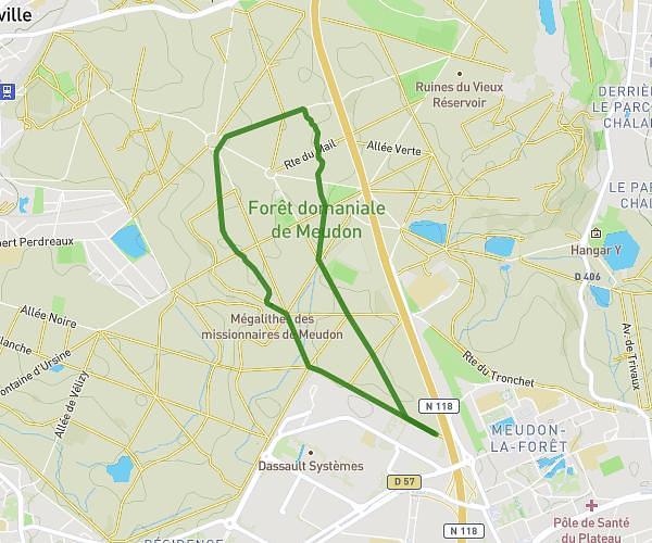
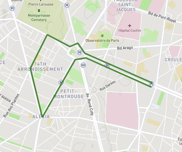
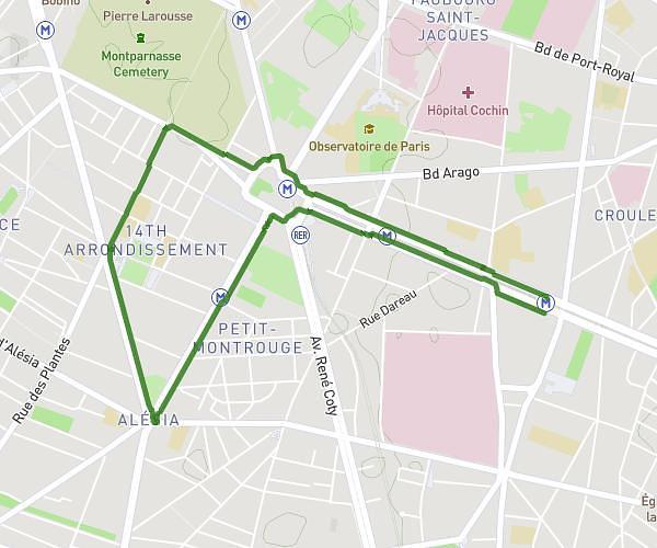
This running route covers 3.483mi starting from Stains, Seine-Saint-Denis. The run is a loop trail and returns to the trailhead. This run is rated as easy, expect about 37m to complete it. The route has an elevation gain of 10ft and an elevation loss of 20ft.
Parc courneuve 5,605km
Route details
5.65mph
Speed
423 kcal
Calories burned
Loop trail
Route type
171ft
Min altitude
187ft
Max altitude
Route profile
10ft
Elevation gain
20ft
Elevation loss
171ft
Min altitude
187ft
Max altitude
How to get there
Trailhead: 102 Avenue De Stalingrad, 93240 Stains, France
GPS coordinates of the trailhead: 48.95545, 2.394196 / 48°57'19'' N, 2°23'39'' E