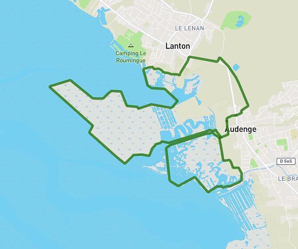
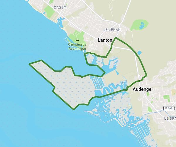
This hiking trail covers 4.821mi starting from Lège-Cap-Ferret, Gironde. The hike is a loop trail and returns to the trailhead. This hike is rated as easy, plan for about 1h38m to complete it. The route has an elevation gain of 118ft and an elevation loss of 112ft.
Marche pour l’ARSLA
Route details
2.95mph
Speed
691 kcal
Calories burned
0.9%
Avg grade
Loop trail
Route type
33ft
Min altitude
72ft
Max altitude
Route profile
118ft
Elevation gain
112ft
Elevation loss
33ft
Min altitude
72ft
Max altitude
How to get there
Trailhead: 3 Avenue Armand Larrivière, 33950 Lège-Cap-Ferret, France
GPS coordinates of the trailhead: 44.795484, -1.133778 / 44°47'43'' N, 1°8'1'' W