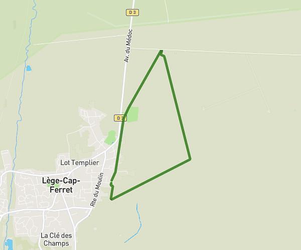
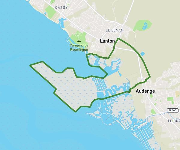
This hiking trail covers 11.087mi starting from Audenge, Gironde. The hike is a loop trail and returns to the trailhead. This hike is rated as easy, plan for about 4h27m to complete it. The route has an elevation gain of 115ft and an elevation loss of 115ft.
Certes 2
Route details
2.49mph
Speed
1880 kcal
Calories burned
0.4%
Avg grade
Loop trail
Route type
-3ft
Min altitude
36ft
Max altitude
Route profile
115ft
Elevation gain
115ft
Elevation loss
-3ft
Min altitude
36ft
Max altitude
How to get there
Trailhead: Domaine de Certes, 33980 Audenge
GPS coordinates of the trailhead: 44.68984, -1.02335 / 44°41'23'' N, 1°1'24'' W