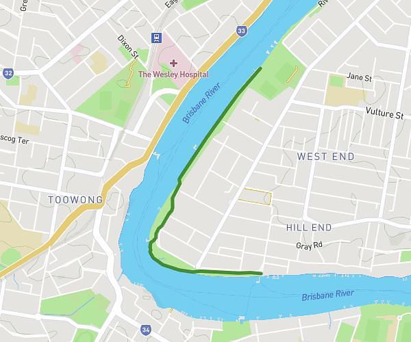
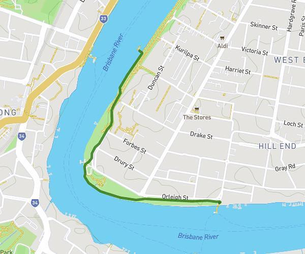
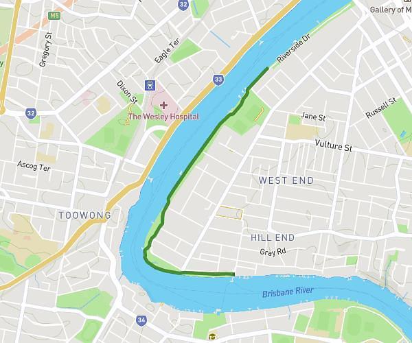
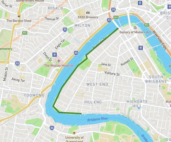
This walking route covers 49.495mi starting from Brisbane, Queensland. The walk does not return to the trailhead and ends near 30 Newman Street, Gaythorne Queensland 4051, Australia. This walk is rated as strenuous, plan for about 17h42m to complete it. The route has an elevation gain of 3924ft and an elevation loss of 4003ft.
Huge Mitchelton route
Route details
21:27/mi
Pace
4337 kcal
Calories burned
Point to point
Route type
105ft
Min altitude
322ft
Max altitude
Route profile
3924ft
Elevation gain
4003ft
Elevation loss
105ft
Min altitude
322ft
Max altitude
How to get there
Trailhead: 31 Evergreen Street, Mitchelton Queensland 4053, Australia
GPS coordinates of the trailhead: -27.415583, 152.961468 / 27°24'56'' S, 152°57'41'' E