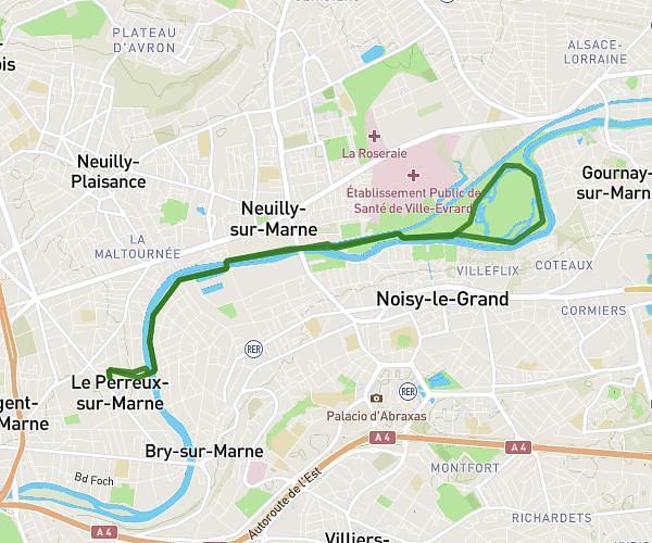
This running route covers 2.878mi starting from Ozoir-la-Ferrière, Seine-et-Marne. The run is a loop trail and returns to the trailhead. This run is rated as easy, expect about 31m6s to complete it. The route has an elevation gain of 23ft and an elevation loss of 30ft.
Course ozoir
Route details
5.56mph
Speed
356 kcal
Calories burned
Loop trail
Route type
358ft
Min altitude
387ft
Max altitude
Route profile
23ft
Elevation gain
30ft
Elevation loss
358ft
Min altitude
387ft
Max altitude
How to get there
Trailhead: 67 Résidence Vincennes, 77330 Ozoir-la-Ferrière, France
GPS coordinates of the trailhead: 48.77484, 2.673829 / 48°46'29'' N, 2°40'25'' E