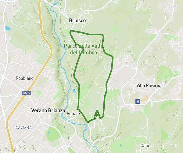
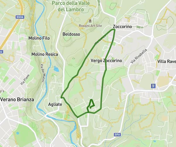
This running route covers 2.19mi starting from Gerenzano, Varese. The run is a loop trail and returns to the trailhead. This run is rated as easy, expect about 20m to complete it. The route has an elevation gain of 351ft and an elevation loss of 348ft.
Corsa std 2 giri parco
Route details
6.57mph
Speed
229 kcal
Calories burned
Loop trail
Route type
656ft
Min altitude
715ft
Max altitude
Route profile
351ft
Elevation gain
348ft
Elevation loss
656ft
Min altitude
715ft
Max altitude
How to get there
Trailhead: Via Inglesina, 21040 Gerenzano Varese, Italy
GPS coordinates of the trailhead: 45.63184, 8.97706 / 45°37'54'' N, 8°58'37'' E