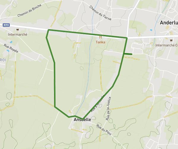
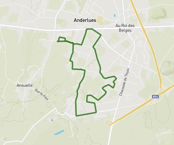
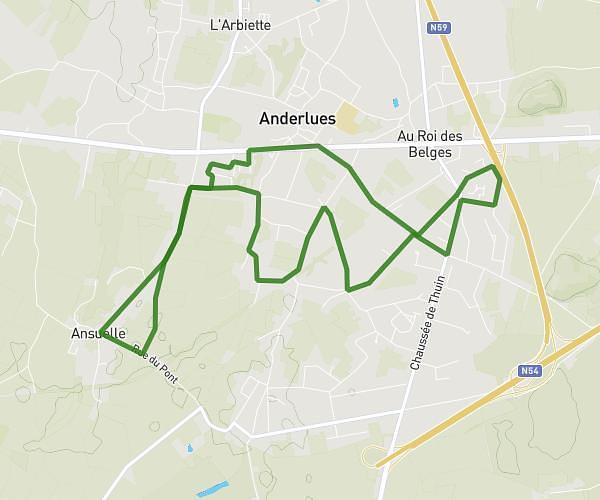
This running route covers 2.873mi starting from Anderlues, Hainaut. The run is a loop trail and returns to the trailhead. This run is rated as easy, expect about 34m40s to complete it. The route has an elevation gain of 197ft and an elevation loss of 200ft.
4,6 km
Route details
4.97mph
Speed
396 kcal
Calories burned
Loop trail
Route type
518ft
Min altitude
646ft
Max altitude
Route profile
197ft
Elevation gain
200ft
Elevation loss
518ft
Min altitude
646ft
Max altitude
How to get there
Trailhead: Rue De La Taillette 22, 6150 Anderlues, Hainaut, Belgium
GPS coordinates of the trailhead: 50.403128, 4.260697 / 50°24'11'' N, 4°15'38'' E