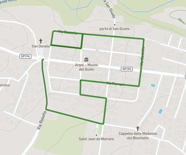
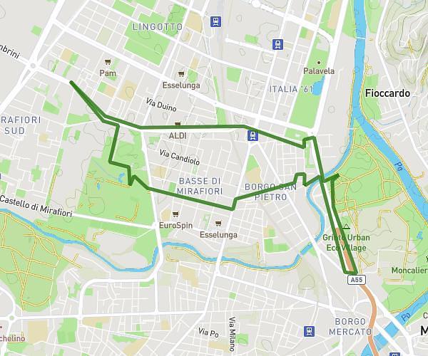
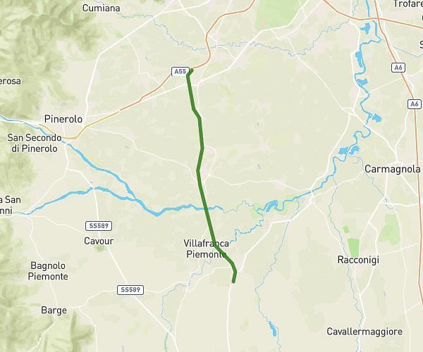
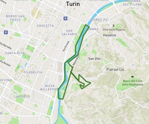
This running route covers 18.04mi starting from Torino, Turin. The run does not return to the trailhead and ends near Piazza Tancredi Galimberti 4, 10134 Torino Turin, Italy. This run is rated as strenuous, expect about 3h14m to complete it. The route has an elevation gain of 295ft and an elevation loss of 282ft.
Gabo Epic 30K
Route details
5.58mph
Speed
2218 kcal
Calories burned
Point to point
Route type
778ft
Min altitude
879ft
Max altitude
Route profile
295ft
Elevation gain
282ft
Elevation loss
778ft
Min altitude
879ft
Max altitude
How to get there
Trailhead: Corso Unione Sovietica 209, 10134 Torino Turin, Italy
GPS coordinates of the trailhead: 45.037126, 7.65203 / 45°2'13'' N, 7°39'7'' E